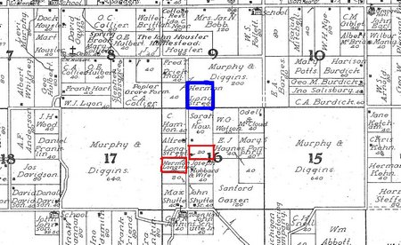
- Municipalities & Tax Authorities -
Jewell Analytics' Custom Mapping and Database Management services provide solutions to updating and maintaining tax parcel data. Real estate is constantly changing hands and being subdivided resulting in new tax parcels and boundaries. Our GIS Department will maintain the GIS Data for the parcels in your county by updating shapefile data, parcel boundaries, ownership information, and other data in connection with the changes in ownership and land subdivision.
Learn More About:

© 2014 Jewell Analytics Group | Phone: (704) 953 - 0885 | 5 Mayflower Drive - Scarborough, ME 04074